Aerial view of Far North Queensland where rainforest meets reef

Verified truth.
From a single tree to the horizon.

Land-IP reads land — its biology, its water, its infrastructure, its carbon, its economic potential — through peer-reviewed science, with transparent confidence, and a complete audit trail behind every number.

Scroll

In Far North Queensland, the world's oldest rainforest drains through a working agricultural shire into the Great Barrier Reef. In this single landscape, three questions converge — and one platform answers all of them.

Aerial view of Cape Kimberley regenerative farm

What is my land actually doing, and what could it become?

See what your land is doing. Know what it could become.

124 hectares. More than 18,000 tracked trees across 220 species. Nursery batches, germination records, health assessments, weather observations — all measured, all connected, all calculated against cited science.

124
Hectares
18,280
Trees tracked
220
Species
Explore the Cape Kimberley story
Agricultural landscape in the Mossman region

When an industry collapses, what does the science say the land can do now?

$78 million in lost value. A verified path forward.

8,500 hectares of former cane land analyzed through satellite data, soil conditions, and climate patterns — matched to the land systems the science supports. A verified economic floor, not a business plan.

8,500
Hectares analyzed
$15.4M
Annual floor
56,450t
CO₂e/year
Explore the Mossman Mill story
Daintree rainforest canopy stretching to the coast

How do you prove a protected ecosystem is actually being protected?

180 million years of evolution. Verified in real time.

73,500 hectares of the world’s oldest rainforest. Satellite coverage measuring canopy, carbon, and health. Land-to-reef connections traced through the Douglas Shire watershed.

73,500
Hectares
$15M
Standing carbon
1,435
Satellite tiles
Explore the Daintree story

These three stories share more than a landscape. The farmer's paddock drains into the watershed that feeds the reef. The mill's economic recovery restores land that borders the national park. The platform sees these connections because it was built to — the relationship graph that traces water from bore well to trough in Cape Kimberley is the same graph that traces sediment from catchment to coral.

The science of seeing land clearly.

Two ideas describe everything.

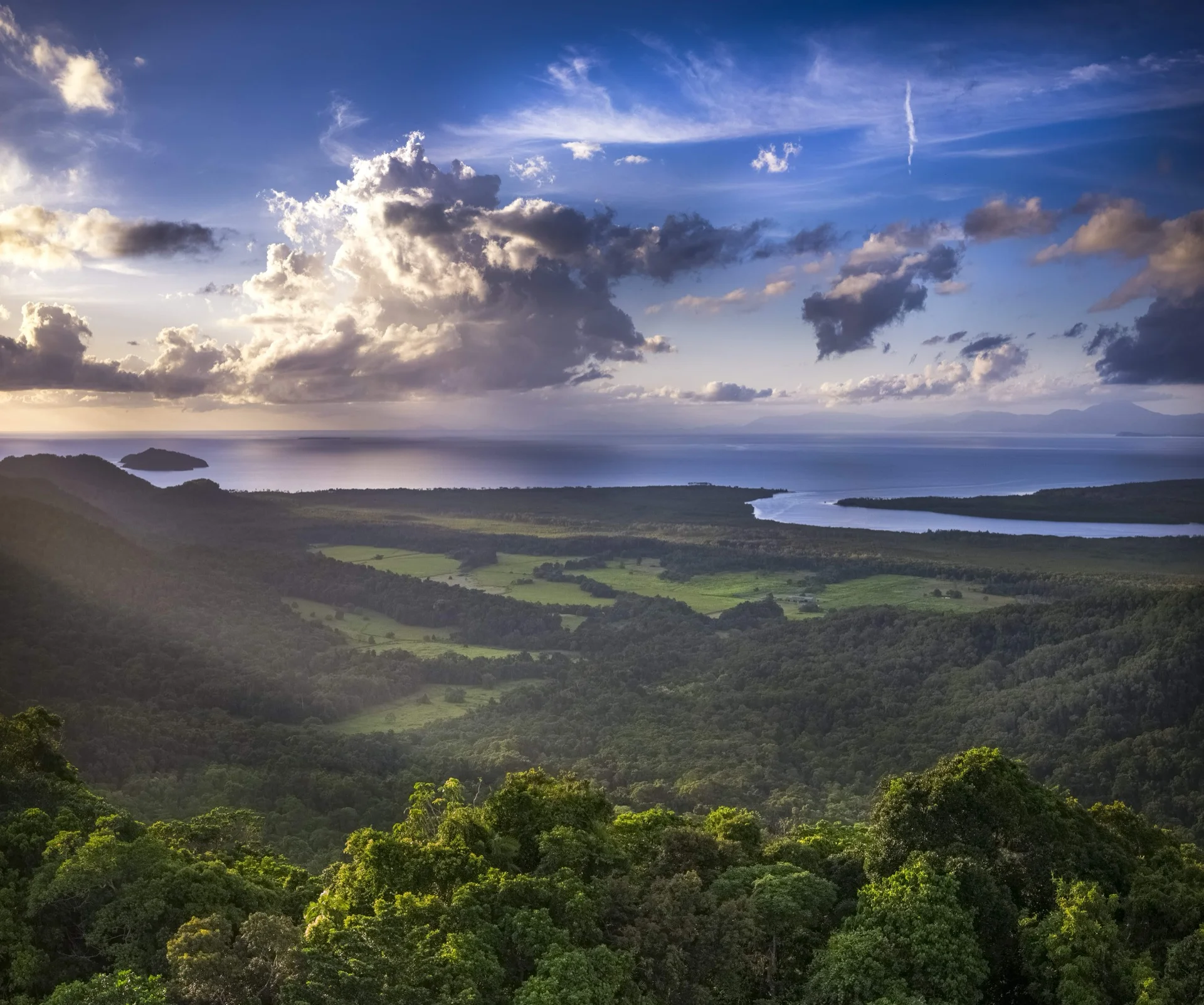
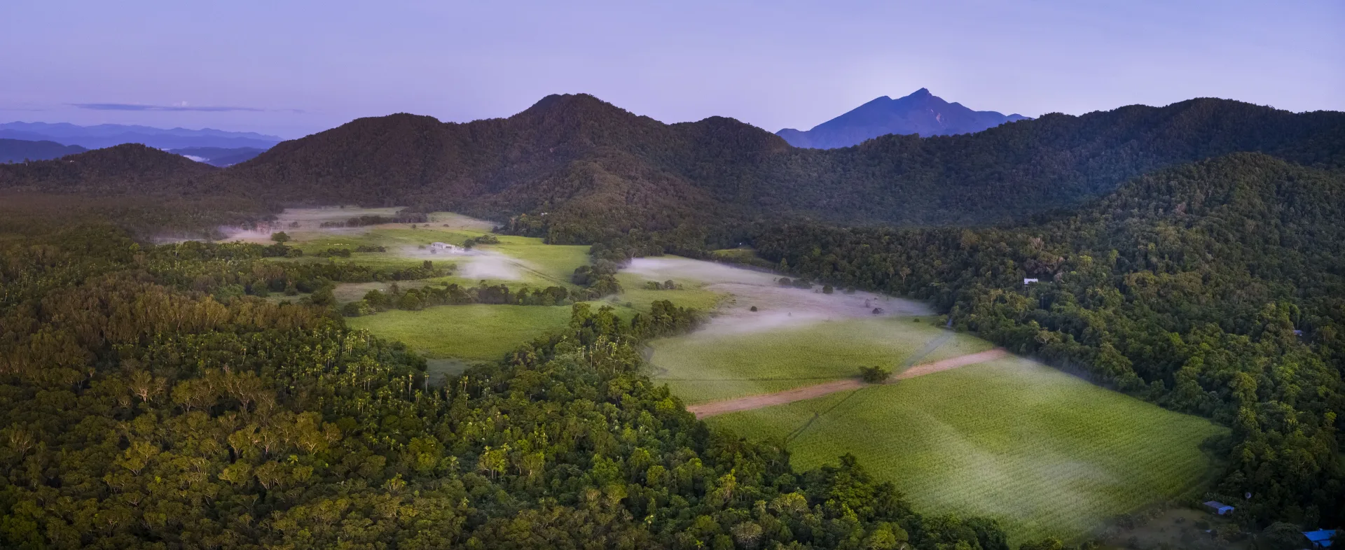
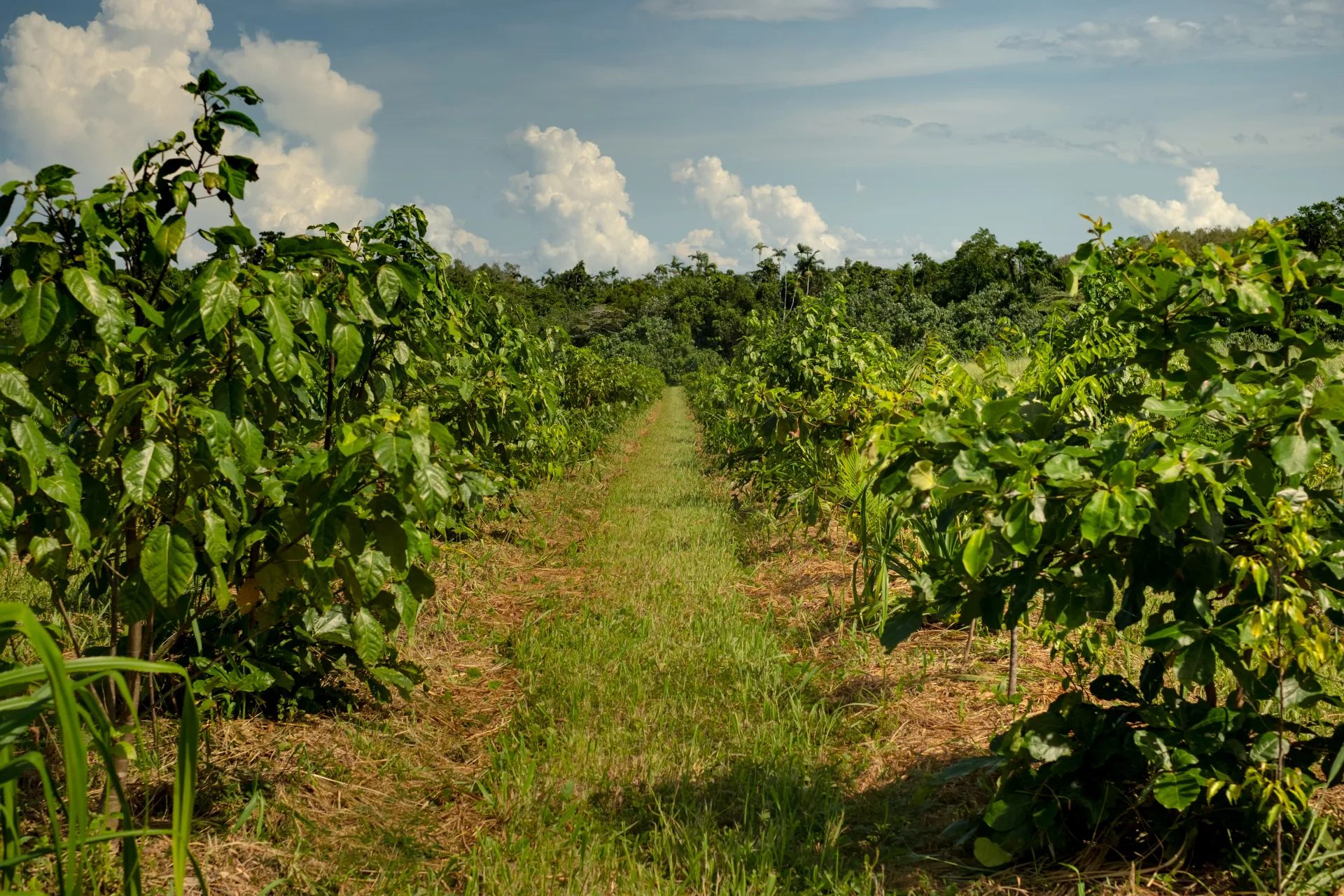
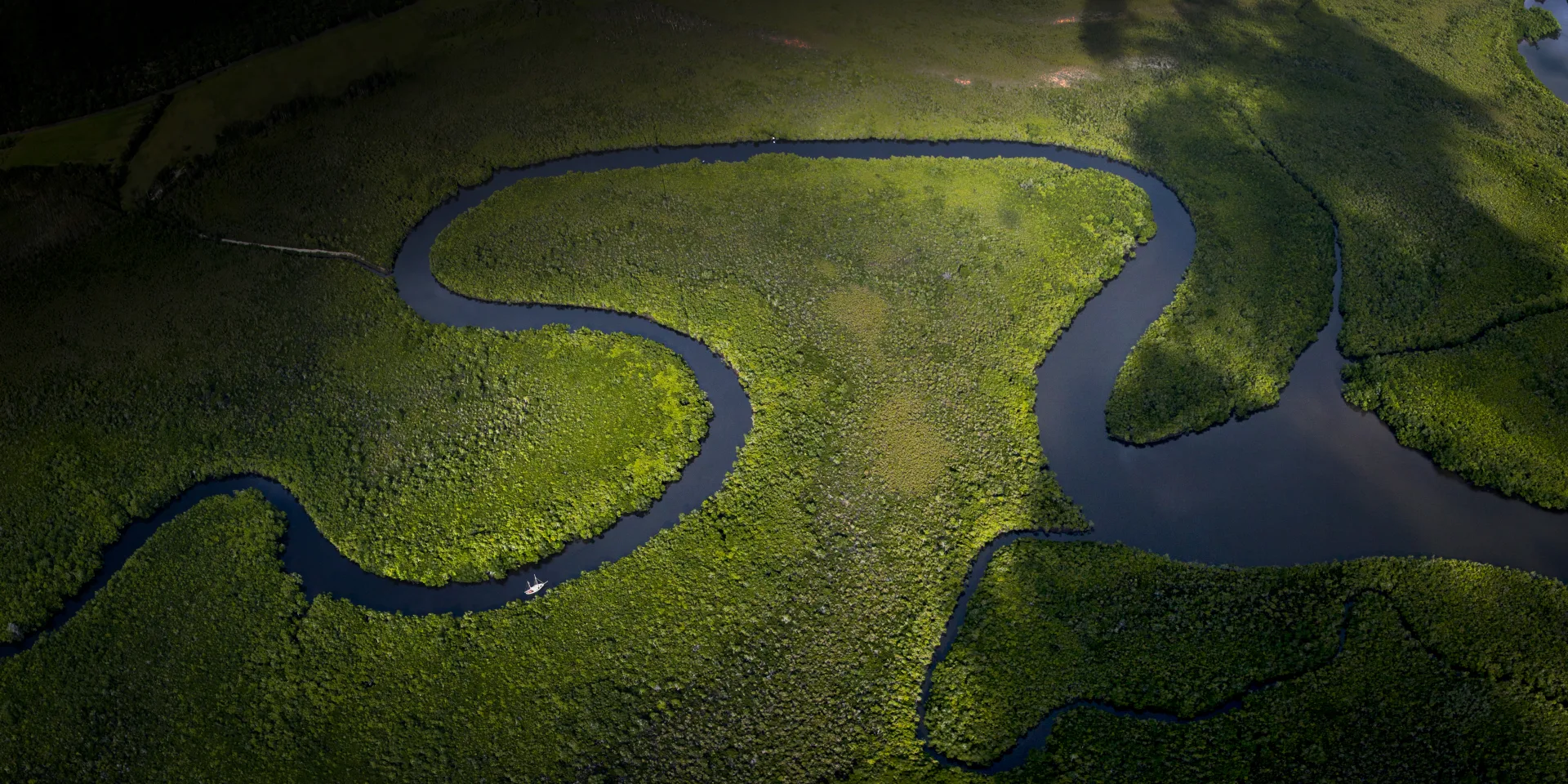
Land-IP rests on a radical simplicity. Everything on a property — a tree, a river, a water pump, a soil sample, a carbon credit — is a feature. Everything true about that feature — its height, its health, its yield, its carbon content, its history — is a trait.

Two primitives. And from them, a complete picture of any landscape.

Features connect to each other through typed relationships. A bore well feeds a pipe. The pipe serves a paddock. A planting row contains individual trees. Trees host ecological measurements. The platform understands these connections, traces flows through them, and calculates outcomes across the whole network.

Traits are permanent. Every measurement, every observation, every calculation is recorded with its timestamp and preserved. The platform doesn't overwrite. The history of the land is the data. Nothing is lost.

Every number traces to its source.

Land-IP doesn't estimate. It calculates — from peer-reviewed science, with every constant cited, every formula visible, and every intermediate step recorded.

When the platform reports a carbon figure, you can open it. You'll see the formula. The inputs, with their units and where they came from. The specific research papers behind every constant. The step-by-step arithmetic that produced the result — not summarised, but shown.

Every calculation also carries its confidence. Using the same framework the Intergovernmental Panel on Climate Change uses to assess global climate science, the platform evaluates the strength of evidence and the level of agreement behind each output. When data is incomplete or the methodology is contested, the platform says so — with the reasoning visible.

And the mathematics are engineered so that a dimensionally wrong answer cannot be produced. Kilograms cannot be added to metres. Rates that should be averaged cannot be summed. The arithmetic won't permit it.

One measurement, four conversations.

The same calculation serves everyone who needs it — shaped for who's asking.

Landholder
The answer and what it means for their land.
Lender
Context: the metrics, the trends, the status, and what to watch.
Scientist
The full working: formula, inputs, constants, citations, confidence, and trace.
Regulator
Compliance data, methodology references, and a cryptographic audit trail.

Same measurement. Same science. Four depths. This is how one platform genuinely serves a farmer checking soil health and a standards body auditing national carbon accounts — without simplifying for one or overwhelming another.

It shows you what’s next.

The platform doesn't only measure what's there. It maps the distance between where you are and where you could be.

It knows what data exists on your land, what's missing, and precisely what filling each gap would unlock — which calculations become available, which certifications the property would qualify for, which revenue pathways open.

This means the platform meets every property where it is. Five measurements or five hundred — each gets value, and each can see the specific next step that would unlock the most.

Built so you don't have to take anyone's word for it.

Environmental claims have a credibility problem. Carbon markets faltered because verification couldn't keep pace with the claims being made. Biodiversity credits are entering the same gap. The question isn't whether nature-based solutions work — it's whether anyone can prove it at scale, independently, and transparently enough for institutional capital to act.

Land-IP is structured as public verification infrastructure, stewarded by ClimateForce, a registered charity. The platform is neutral — it has no financial stake in the outcomes it measures. The science is open — every formula, every constant, every citation is accessible. The audit trail is cryptographic — each calculation is hash-chained so that any alteration breaks the chain and is immediately detectable.

This isn't “trust us.” This is: here is a number, here is the formula that produced it, here is every constant with its peer-reviewed source, here is the confidence assessment drawn from the IPCC framework, and here is the cryptographic proof that nothing has been changed since it was calculated. Verify it yourself. That's the point.

The validation network

Landholders provide ground truth. Satellite data provides independent observation. The platform calculates against cited science. A network of trusted public partners and secure validators verifies outputs against domain expertise.

Revenue flows through the operational validation layer — value created by proving what land is actually doing, not by extracting from it. The charity stewards the infrastructure. The validation creates the value. Nobody who profits from a claim is the one verifying it.

Douglas Shire today.
Every landscape the science applies to, tomorrow.

Land-IP is live in Douglas Shire, Far North Queensland. Properties are measured. Calculations are running. Three stories — Cape Kimberley, Mossman Mill, the Daintree — demonstrate the platform across farming, regional economics, and conservation governance, all in one interconnected landscape.

The architecture doesn't stop at one shire. Features and traits describe any landscape. The calculation engine runs wherever cited science exists. The confidence framework is universal — it comes from the IPCC, not from a particular geography. What changes between landscapes isn't the platform. It's the constants.

Silvopasture yield data in Queensland cites different research than silvopasture in Kenya. Carbon sequestration rates in tropical rainforest come from different papers than temperate grassland. The science is always local. The verification engine is universal.

Valley landscape in Far North Queensland

Partnerships

Land-IP is developed by ClimateForce in partnership with government agencies, research institutions, and Indigenous land management organisations — including Jabalbina, custodians of the Daintree for the Kuku Yalanji people. These partnerships are operational, not advisory — contributing domain expertise, local science, and the ground-truth calibration that makes verification credible in every landscape the platform enters.

See it for yourself.

Land-IP is a live platform with real data from real properties. The three stories below are open to everyone, running on real data through the live system.

Full platform access is by invitation — property management, spatial tools, calculator execution across twelve scientific domains, assessment guidance, and the complete audit trail behind every measurement.

Request access